Description
Detect conductive and non-conductive pipes and ducts
Ground Penetrating Radar can detect ceramic and plastic pipes and ducts which would otherwise require tracer wire to detect using an electromagnetic locator.
Slice Views
By recording Grid Scans, users can view not only Line Views but also Depth Slices, greatly increasing the clarity of the collected data.
FrequenSee™ “3 Antennas in One”
FrequenSee™ selectively enhances small/shallow, medium size/depth, or large/deep targets, or even all, for easier viewing and detection. The proprietary FrequenSee™ technology exploits the wide bandwidth of the RD1500 antenna, and allows the user to select the low, medium or high part of the frequency spectrum to focus on the desired features. Systems incorporating FrequenSee are typically lighter and less bulky that competing multi-antenna alternatives.
GPS and Map View
The RD1500 includes internal GPS as standard, enabling the unique Map View feature that allows the user to view the path travelled by the system, together with any on-screen markers made. Users looking for higher accuracy positioning data can opt for the RD1500’s external GPS, which also enables the generation of KMZ files. These files can be opened in Google™ Earth™, giving all the geographic position of where saved surveys were performed and the ability to view the screenshots that were taken.
Enhancement upgrade option
The Enhancement option for the RD1500, which includes the EKKO_Project software suite aids in the storage, export, interpretation and presentation of the collected data by enabling the user to: organise data into projects for increased storage on the RD1500; slice through the exported depth data; generate PDF reports that include data images, screenshots and photos alongside text and your company logo and export data to other formats like CSV and SEG-Y.
Additional analysis software options
EKKO_Project, included within the RD1500 Enhancement option, and Utility Suite are both available for the RD1500. See “Software” for more details.
Internal Wi-Fi and USB for data transfer
Mini projects, containing screenshots and a table with information about the collected data, can be emailed immediately to clients or colleagues using the on-board Wi-Fi, either via a nearby wireless network or the user’s smart phone in hotspot mode. Screenshot images, and data for Enhancement system users, can also be exported to a USB drive for transfer to a computer or archive system.
High resolution touch screen display
The high resolution Display Unit features touch screen operation, providing the user with the ability to draw arrows on the screen to highlight features of interest. Soil calibrations are simply done by dragging a Soil Cal Hyperbola to lie over a real hyperbola from the ground and matching the shape.
Rugged yet portable
Light-weight, rugged and weatherproof (IP65) system designed for use across challenging terrain. Optional larger wheels can be fitted to ease use across particularly soft or rough ground. The RD1500 can be assembled on-site in less than two minutes, and can be dismantled without requiring tools, allowing compact storage and safe transportation. Soft and hard cases are available for transportation of the display unit; alternatively an optional flight case can be used to protect the entire system.
Software
EKKO_Project
Included within the RD1500 Enhancement option, EKKO_Project enables the user to:
Organise data into projects for increased storage on the RD1500; slice through the exported depth data for increased clarity; generate PDF reports that include data images, screenshots and photos alongside the user’s text and company logo; and export data to other formats like CSV and SEG-Y
Utility Suite
For RD1500 Enhancement users, the Utility Suite software option offers an even more advanced analysis solution by providing three additional modules:
LineView module, which can modify the view settings to optimize the image and show data corrected for elevation; SliceView module for processing and displaying grid data as GPR lines and depth slices, and can output data into a 3D format for 3D visualization software such as Voxler® and; Interpretation module, which helps extract useful information from GPR data into other formats, such as CAD.

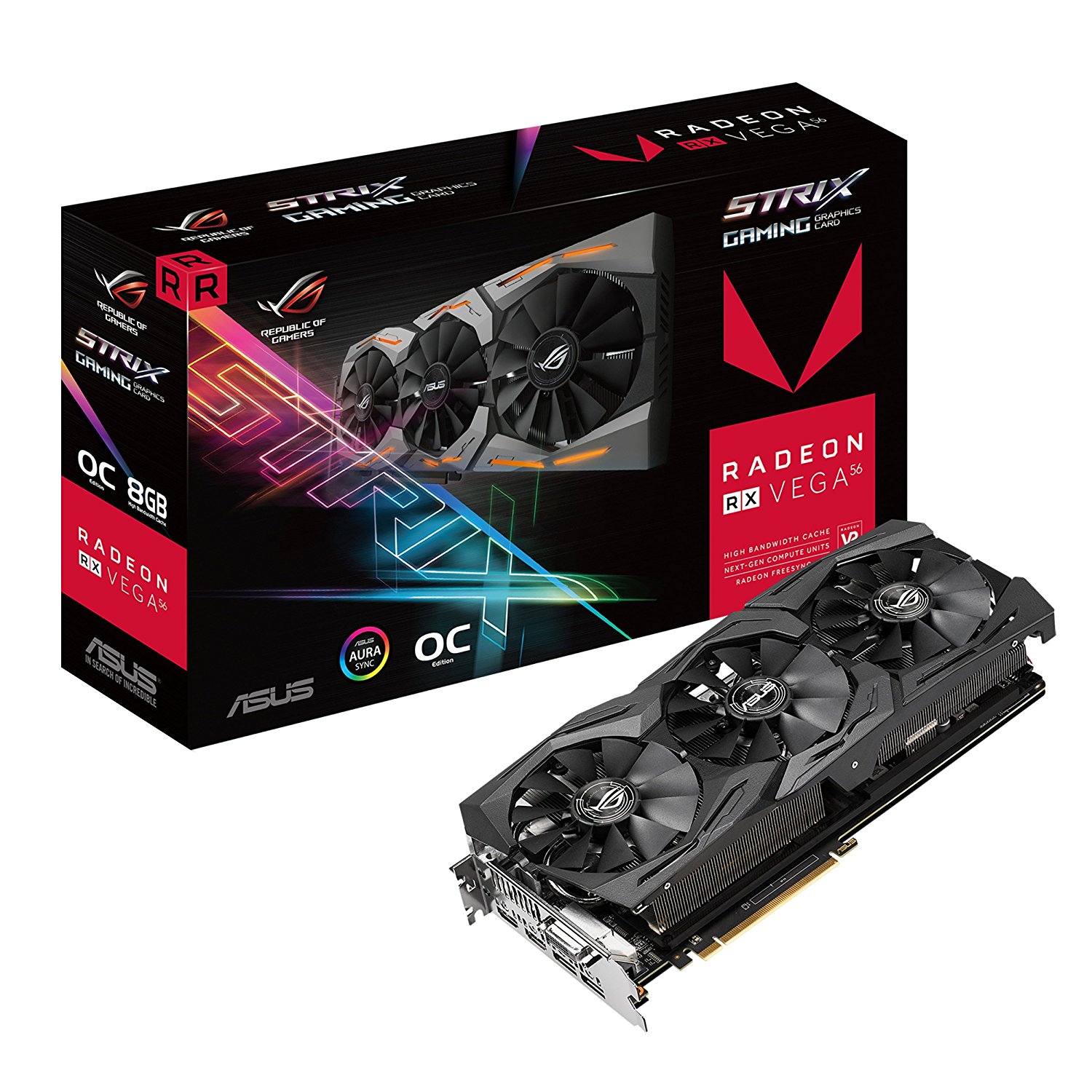 ASUS ROG STRIX Radeon Rx 480 8GB OC Edition DP 1.4 HDMI 2.0 AMD Polaris Graphics Cards STRIX-RX480-O8G-GAMING : $100 USD
1 × $100.00
ASUS ROG STRIX Radeon Rx 480 8GB OC Edition DP 1.4 HDMI 2.0 AMD Polaris Graphics Cards STRIX-RX480-O8G-GAMING : $100 USD
1 × $100.00 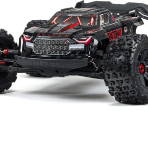 ARRMA RC Truck KRATON 4X4 8S BLX 1/5 Speed Monster Truck Black
1 × $400.00
ARRMA RC Truck KRATON 4X4 8S BLX 1/5 Speed Monster Truck Black
1 × $400.00 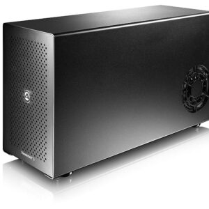 Akitio Node (Windows PC Certified) - Thunderbolt3 eGPU
2 × $130.00
Akitio Node (Windows PC Certified) - Thunderbolt3 eGPU
2 × $130.00  DEWALT DCK292L2 20-Volt MAX Li-Ion 3.0 Ah Hammer Drill and Reciprocating Saw Combo Kit
1 × $120.00
DEWALT DCK292L2 20-Volt MAX Li-Ion 3.0 Ah Hammer Drill and Reciprocating Saw Combo Kit
1 × $120.00  Bobcat Miner 300 Helium Hotspot for HNT
1 × $399.00
Bobcat Miner 300 Helium Hotspot for HNT
1 × $399.00 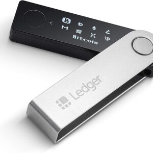 Ledger Nano X - Cryptocurrency Hardware Wallet - Bluetooth
1 × $60.00
Ledger Nano X - Cryptocurrency Hardware Wallet - Bluetooth
1 × $60.00  Goldshell LT6 3.35Gh/s
1 × $5,100.00
Goldshell LT6 3.35Gh/s
1 × $5,100.00  Garmin Virb 360
1 × $300.00
Garmin Virb 360
1 × $300.00  DEWALT DCK267D2 20V MAX XR Drywall Screwgun & Impact Driver Kit
1 × $50.00
DEWALT DCK267D2 20V MAX XR Drywall Screwgun & Impact Driver Kit
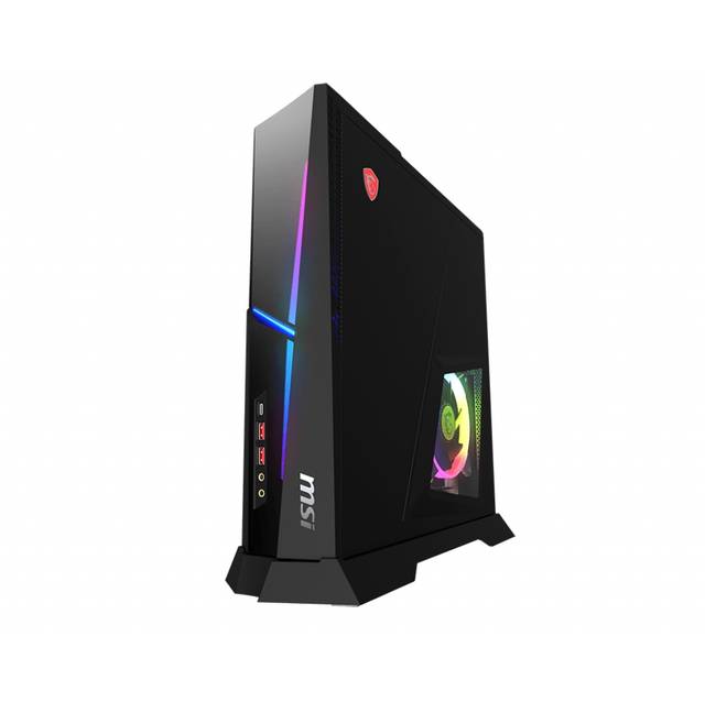
1 × $50.00 ![MSI Trident X Plus 9SF-054US Gaming Desktop [i9-9900K][RTX 2080Ti VENTUS 11GB][32GB DDR4][512GB SSD + 2TB HDD](https://www.qingdaoelectronics.com/wp-content/uploads/2025/01/msi-trident-x-plus-9sf-054us-gaming-desktop-i9-9900k-rtx-2080ti-ventus-11gb-32gb-ddr4-512gb-ssd-2tb-hdd-w10pro-.jpg) MSI Trident X Plus 9SF-054US Gaming Desktop [i9-9900K][RTX 2080Ti VENTUS 11GB][32GB DDR4][512GB SSD + 2TB HDD
1 × $170.00
MSI Trident X Plus 9SF-054US Gaming Desktop [i9-9900K][RTX 2080Ti VENTUS 11GB][32GB DDR4][512GB SSD + 2TB HDD
1 × $170.00  WHOLESALES ORIGINAL NEW 2021 POLARIS RMK PRO 850 163 QD2 ELECTRIC START SNOWMOBILE
1 × $700.00
WHOLESALES ORIGINAL NEW 2021 POLARIS RMK PRO 850 163 QD2 ELECTRIC START SNOWMOBILE
1 × $700.00  2021 Can Am Maverick X3 MAX XRS Polaris sport RR Black 4-Wheel Drive
1 × $2,000.00
2021 Can Am Maverick X3 MAX XRS Polaris sport RR Black 4-Wheel Drive
1 × $2,000.00  Sony Alpha a7R IV Mirrorless Digital Camera (Body Only)
1 × $300.00
Sony Alpha a7R IV Mirrorless Digital Camera (Body Only)
1 × $300.00  Supra HKS Twin Turbo 6 Speed VVTI Engine 2JZGTE
1 × $2,499.00
Supra HKS Twin Turbo 6 Speed VVTI Engine 2JZGTE
1 × $2,499.00  Harman Kardon Allure Voice-Activated Home Speaker with Alexa
1 × $10.00
Harman Kardon Allure Voice-Activated Home Speaker with Alexa
1 × $10.00 


There are no reviews yet.